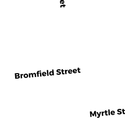
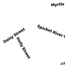
45 - 45A MYRTLE ST
Owner Information
DELEON MARIA
45 - 45A MYRTLE ST
LAWRENCE, MA 01841


Property Details
45 - 45A MYRTLE ST is classified as a Three-Family Residential (Family flat).
The primary structure on this property was built in 1910. There are 6,292ft2 of built area within this property. There is 4,251ft2 of residential/living space within this property. This property is listed as having 18 rooms.
45 - 45A MYRTLE ST is valued at $479,400. The land is valued at $94,500 and the structures are valued at $384,900.
This property is in Zone R-3. Confirm with local Zoning Board authorities to ensure there are no overlays or other easements on this property.
The most recent deed for 45 - 45A MYRTLE ST is recorded at the local registrar in Book 15079, Page 64. 45 - 45A MYRTLE ST was last sold on Friday, May 12, 2017 for $410,000.
Assessment data from fiscal year 2022.
Flood Data
This property is partially within the AE Zone (within floodplain). Approximately 0.0 acres (0.04%) of the property is within this zone.
This information is sourced from the FEMA National Flood Hazard Layer. See our full disclamer.
Broadband Internet Providers
| Provider | Type | Bandwidth (mbps) | |
|---|---|---|---|
| Comcast | Cable | 1000 | 35 |
| Verizon New England Inc. | Fiber | 940 | 880 |
| Verizon New England Inc. | DSL | 10 | 1 |
| Viasat Inc | Satellite | 100 | 3 |
| VSAT Systems, LLC. | Satellite | 2 | 1 |
| HughesNet | Satellite | 25 | 3 |
| GCI Communication Corp. | Satellite | 0 | 0 |
Broadband service provider data from December 2020.